BUFFALO, N.Y. — The wildfires currently impacting California, Oregon, Washington and seven more states out west, are so large and destructive that leftover smoke, dust and ash have been picked up by the jet stream and traveled across the country.
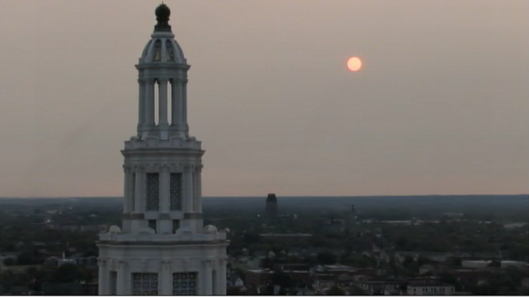
The smoke reached the Northeast Monday and was first seen through a smokey sunrise Tuesday across Buffalo. These conditions will linger for a few days, and here's how you'll notice their impact.
First, the horizon make look a little hazy or smokey, especially during sunrise and sunset. Plus, the next few sunrises and sunsets could have a more red hue as the smoke in the air reflects out any blue light within the light spectrum emitted by the sun. Smokey sunrises and sunsets can be some of the most photogenic! We already witnessed that earlier this year when Saharan Dust traveled across the Atlantic Ocean from Western Africa.
Depending on how much smoke is within the atmosphere, and at what height, smoke can limited precipitation from forming and surface temperatures from rise. It can limit rain because of its dry composition. The smoke also blocks and reflects sunlight shining down on the Earth, which if strong enough, prevents surface temperatures from warming to their full capacity. Forecast wise, this all means a smaller chance for rain and possibly temperatures a few degrees less than the initial forecast.
Thankfully, the smoke and dust from the wildfires out west pose no health risk to Western New Yorkers. The smoke is higher in the sky and relatively thin in density. But this is not the case for those directly near the wildfires. Portland recently ranked as the worst city in the world for air quality, a direct result from the wildfires. San Francisco, Seattle, and Los Angeles were also within the top 10 in the latest poll.
Those wildfires have now burned 4.6 million acres across 10 states and at least 35 people have died in this natural disaster.
RELATED: Saharan Dust makes it to America


