BUFFALO, N.Y. — Last week global satellite imagery picked up on a large plume of Saharan dust that began to move off the west coast of Africa on June 17.
One week later, this round has made it to America.
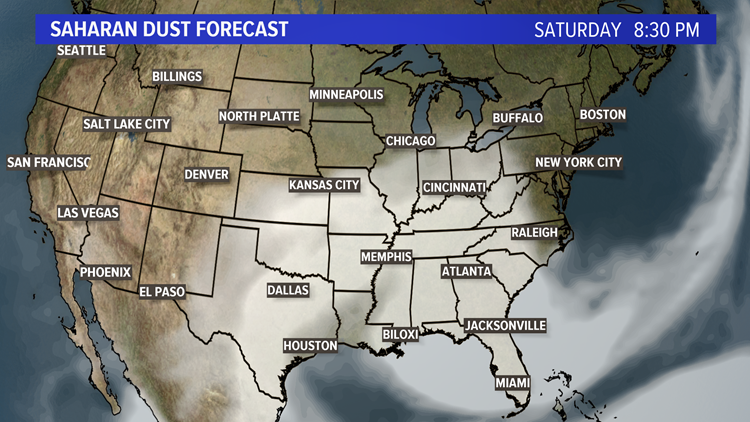
Forecast models show the dust potentially circulating through portions of the Midwest and Southeast Friday through Monday. The closest this dust will get to Buffalo will be Saturday evening.
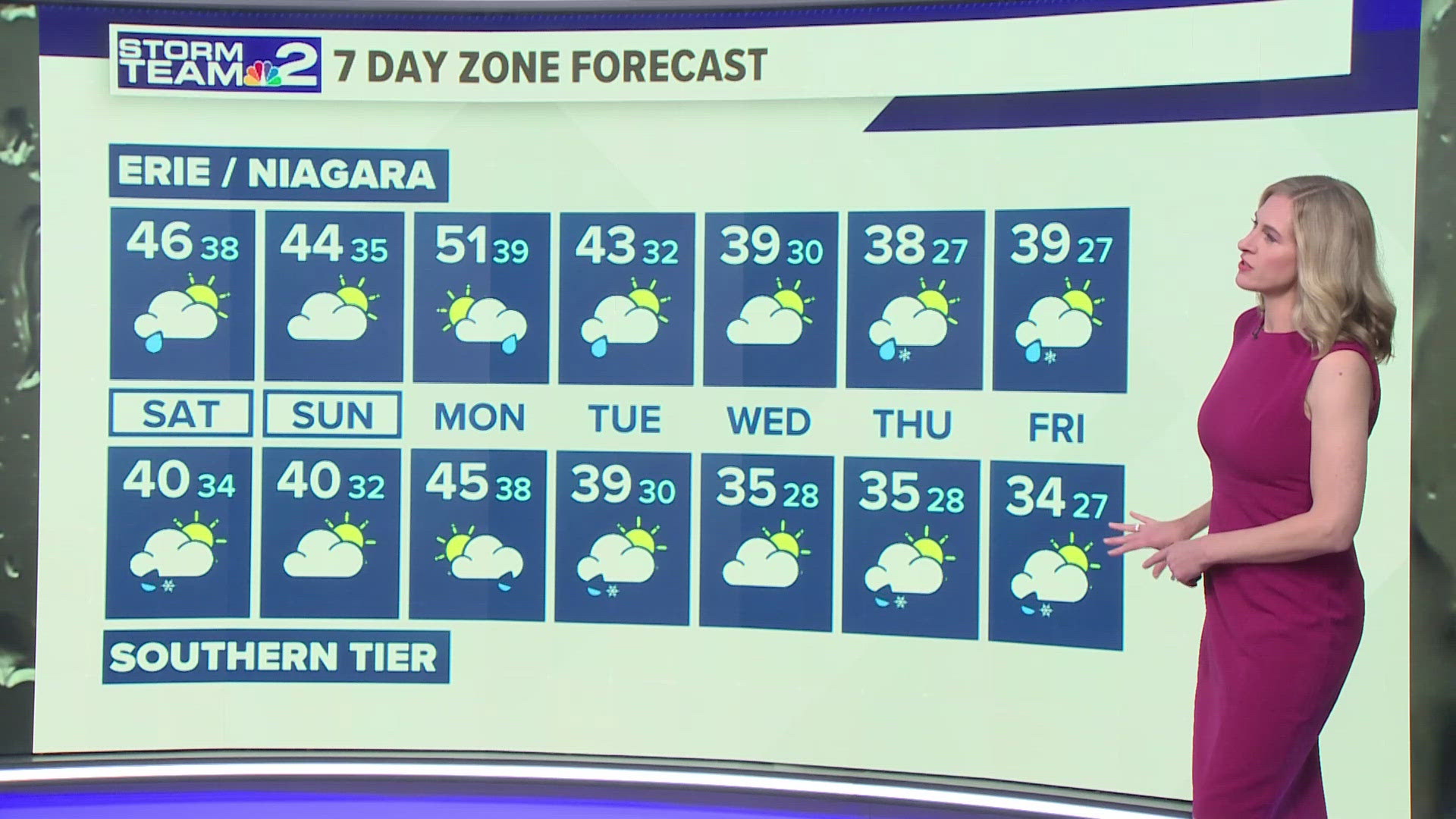
If the region has a some clearing after the day's expected storms, Western New York could be in for a show around sunset.
One of the most noticeable impacts associated with Saharan dust, or even dust from wildfires, are the vibrant sunsets. So even though this dust is not expected to move into Western New York, we could catch a glimpse of its impact across the horizon at sunrise and sunset this weekend.
But that's a good thing, as this dust will be strong enough across the Southeast to cause a hazy sky and reduce air quality, which can be especially dangerous for those who work outdoors.
Also, this dust does not cause a "dust storm." It comes from higher in the sky and can sink towards the surface in the right weather conditions.


This round of Saharan dust has also limited tropical cyclone development for the past week and could for an additional one to two. The National Hurricane Center is not anticipating any new developments over the next 48 hours.
Saharan Dust plumes are a seasonal phenomenon that can occur each spring and summer, with its strength dependent on how little rain falls over central and western Africa.
This dust can then get picked up by the jet stream and carried 5,000 miles across the ocean and into Central and North America. Saharan dust can also be referred to as the "Saharan Air Layer" when it reaches the West.
This dust is important to meteorologists as it can limit tropical cyclone development, cause hazy skies and reduce the air quality across areas it impacts. It's more commonly known for photogenic sunrises and sunsets.


