BUFFALO, N.Y. — When it comes to this year's winter forecast in Buffalo, several factors could influence what type of weather systems the region sees and how much snow could fall this year compared to last.
To be discussed ... a La Nina pattern, the North Atlantic Oscillation, large-scale vs. lake effect storms, and what a warmer summer could mean for the following winter.
After the second-warmest summer recorded in Buffalo, many wonder if what happened over the summer could be a sign for the winter to come. For this, looking back at other years with very warm summers could help decipher a trend.
2018, 2012, 2005 and 1988 had exceptionally warm summers and here's how their winters shaped up in terms of snow totals. The winter of 2018-2019 had 118.8 inches, which is well above average. For 2012-2013, there was only a recorded 58.8 inches, very much below average. Winter of 2005-2006 had 78.2 inches of snow and in 1988-1989 it was 100.5 inches.
Keeping in mind that Buffalo's annual average snowfall is 94.7 inches, the above winter's are a complete 50/50 split in terms of above or below average snowfall. So it's is impossible to connect one variable like a hot summer to either a mild winter or a snowy winter when there are so many other factors to consider, like different teleconnection patterns that could develop in the months leading up to December.
One primary seasonal predictor is the El Nino or La Niña, part of a cycle called the El Nino Southern Oscillation. El Nino Southern Oscillation, or ESNO for short, is a naturally occurring ocean to atmosphere phenomenon marked by warmer or cooler than average sea surface temperatures across the Equatorial eastern Pacific Ocean. An El Nino is when sea surface temperature are warmer than usual, a La Niña for cooler. And this winter, we're expecting a La Niña to continue and possibly strengthen.
As of October 8, the Climate Prediction Center gave an 85% chance of the current La Niña continuing through February and 65% chance through April. And after one of the most active Atlantic hurricane seasons on record, a traditional sign of a La Niña, it's easier to solidify the impacts a La Niña could have on the coming winter across the United States.
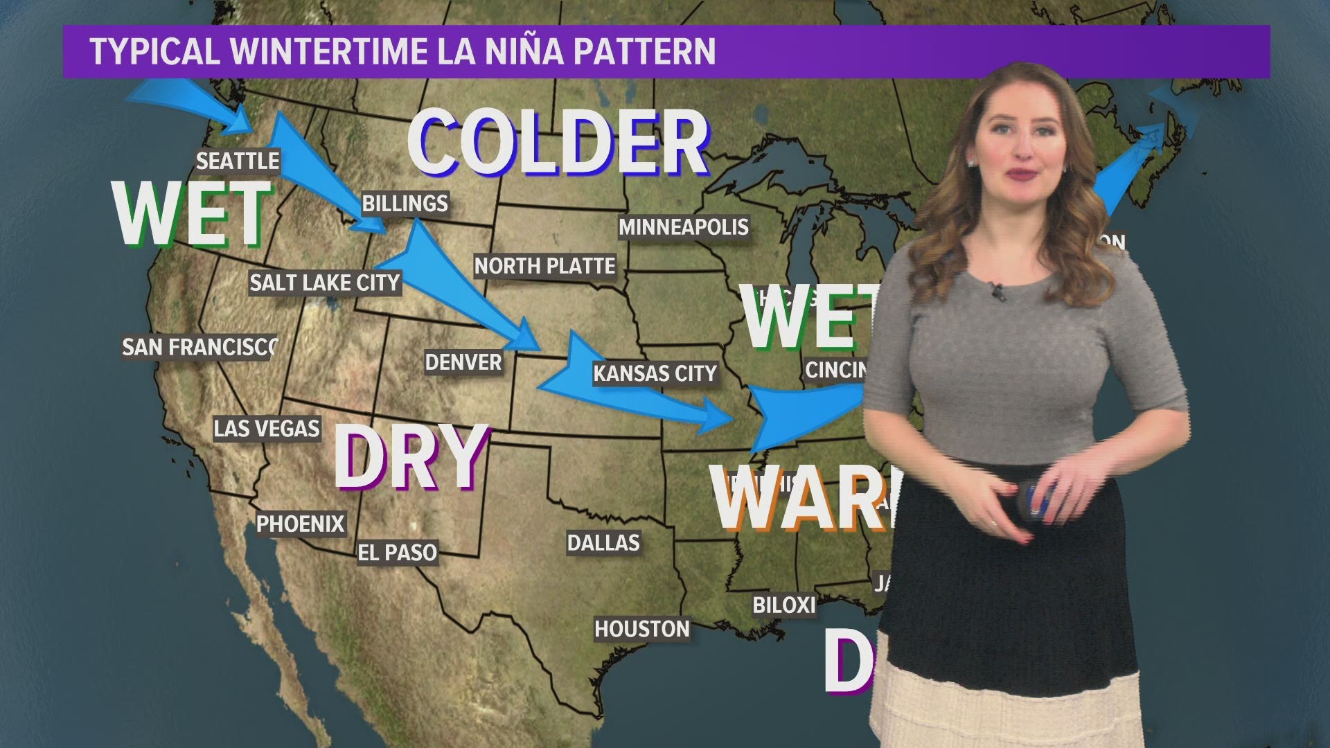
In a La Niña wintertime pattern, the polar jet stream tends to dip farther south across the continental United States. The results of this jet stream pattern varies by location. For the Great Lakes, this typically means a wetter and colder winter. The Southeast, a warmer and drier winter. Pacific Northwest, wetter, and Southwest, drier.
So knowing that a La Niña will be in place this winter, a wetter winter could be on the way for Buffalo.
But let's bridge the gap between seasonal and monthly prediction methods using another teleconnection pattern: the North Atlantic Oscillation, or NAO. This particular pattern is located over the northern Atlantic Ocean near Iceland and Greenland. It's in this region we watch for anomalies that could influence our forecast in the Northeast on a monthly basis. So unlike ENSO, the NAO changes more regularly, on a month to month basis instead of seasonal.
The NAO has two phases, a positive and negative. When the NAO is in a positive phase, there is a stronger sub-solar low over Greenland and strong area of high pressure over the ocean. History has shown the positive phase of the NAO can lead to warmer temperatures in the Northeastern United States. And for the negative phase of the NAO, it's just the opposite. Both the low and high pressure systems are weaker, which can keep stronger, colder weather systems in place over North America.
So by pairing the seasonal a La Niña with a monthly phase of the NAO, we can better predict what our weekly weather systems could bring to Buffalo throughout the winter season.
Buffalo has a bit of a reputation for lake effect, and rightly so. But it just so happens that Lake Erie can only be blamed for about one third of Buffalo's snow, at least on average. Yep! Looking back at the last 20 winters, much of Western New York's seasonal snowfall was a result of large-scale or "synoptic" storms, rather than lake effect snow.
A synoptic storm is a weather system that is large enough to impact an entire region and usually develops over a period of days. We typically refer to them as low pressure systems on a weather map. In the wintertime, a synoptic storm will bring near equal amounts of snow to all of Western New York, unlike lake effect snow which narrows in on a specific area.
Which brings us back to the jet stream. Last year, it was plenty active with about half the days in winter receiving measurable precipitation. But only 60% of those days brought measurable snow. The jet stream was just a bit too far north. So is there something in the cards to bump things south this year? That's is one of the key questions to answer this season.
All of this leads to Storm Team 2's Winter Forecast ...
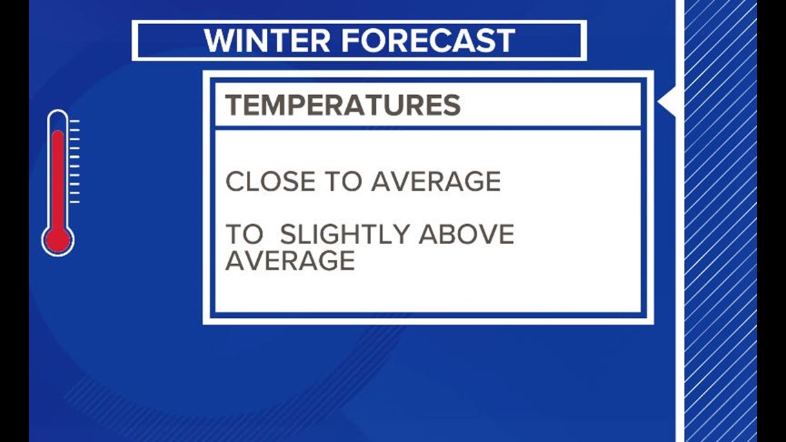
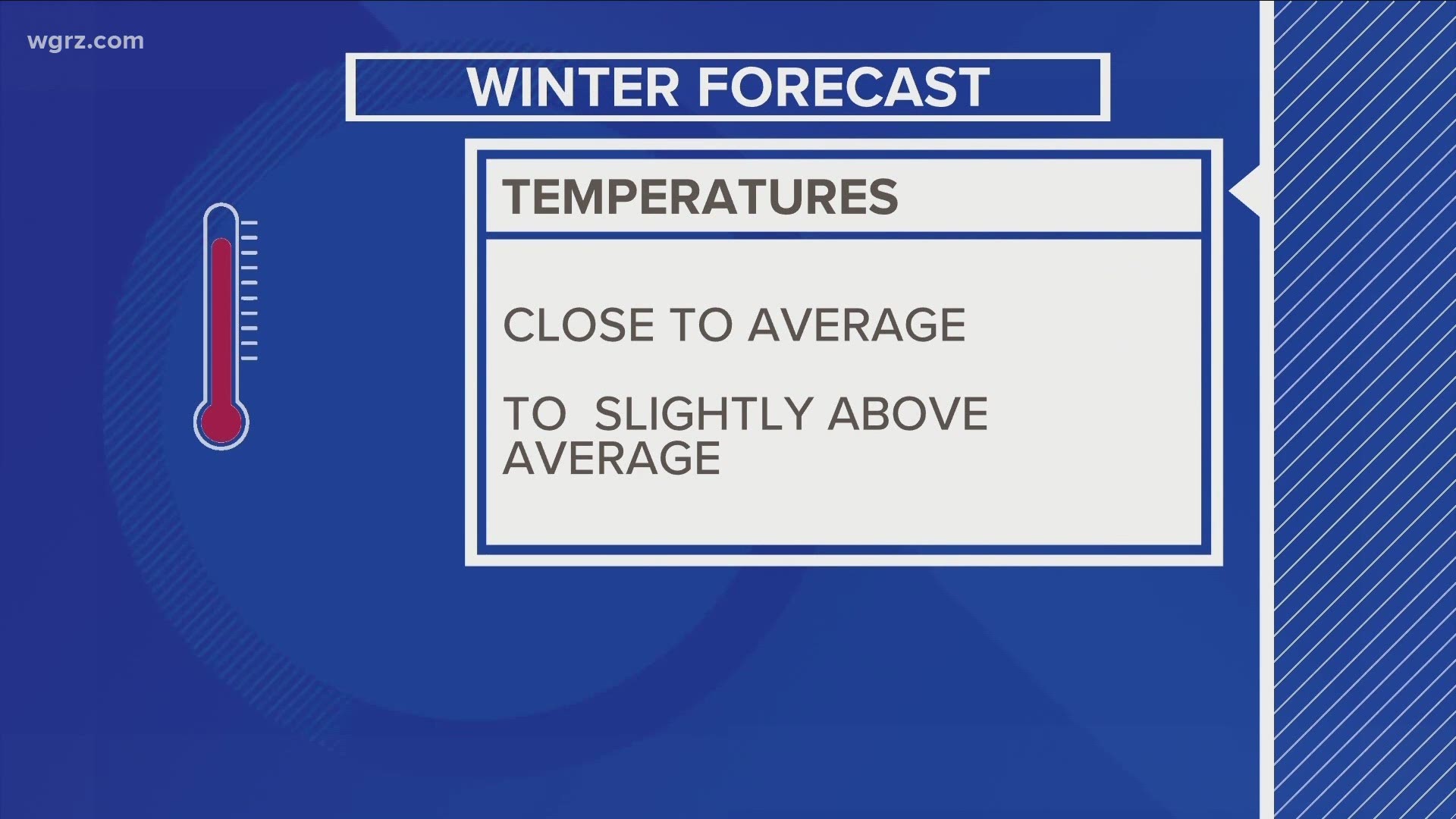
Temperature-wise we are calling for this winter season to be close to average if not a little above average. There will be plunges of Arctic air, but shouldn't last very long.


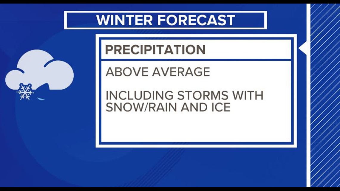
Precipitation will be above average this winter season with many larger storms bringing a potential mix of rain, snow and ice. The percentage of snowfall from lake effect specifically will be lower than average.


Both of these traits echo what the National Oceanic and Atmospheric Administration has predicted for the 2020-2021 winter season too.
And as is tradition, each year every member of Storm Team 2 makes an exact snowfall forecast. Here's what they're calling for this year:
- Maria Genero: 98 inches
- Heather Waldman: 85 inches
- Elyse Smith: 92 inches
- Kevin O'Neill: 99 inches
- Patrick Hammer: 102 inches
So the average snow total amongst the group is 94 inches, which turns out to be the average 30-year winter snowfall Buffalo.


