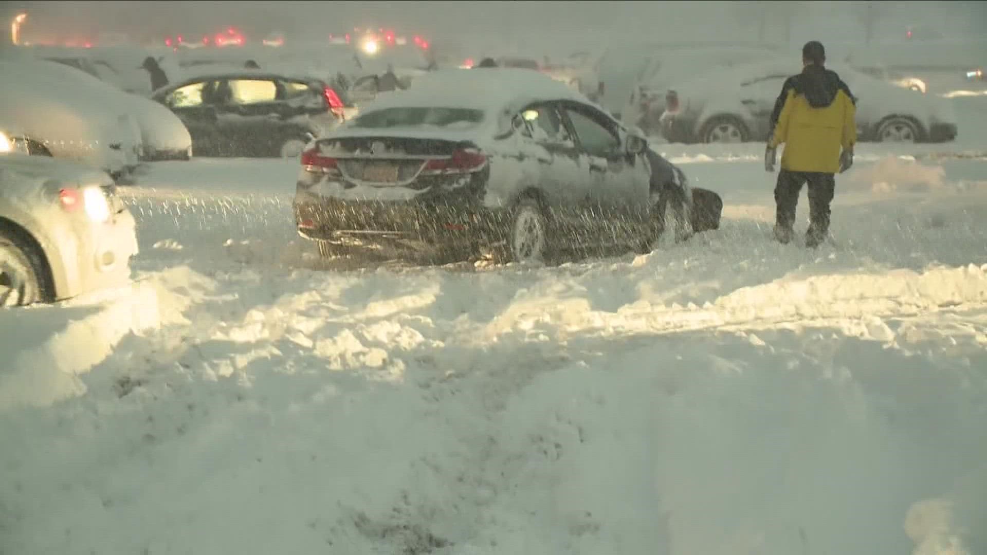
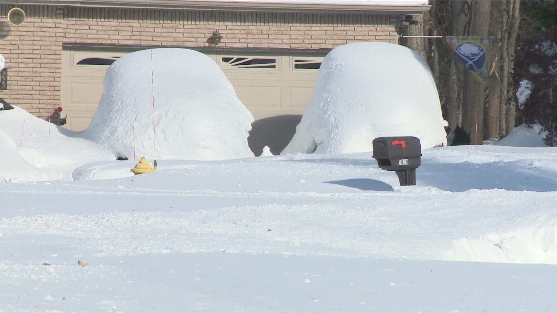
BUFFALO, N.Y. — Western New York is used to lake effect snow storms. Less than a month after November's historic storm, the region is bracing for another one.
The National Weather Service in Buffalo issued a Lake Effect Snow Warning for northern Erie and Genesee counties from 7 p.m. Friday to 1 p.m. Sunday. Heavy lake-effect snow is expected and could lead to dangerous travel with snow-covered roads and whiteout conditions. Snow totals for this region could range between 10 to 18 inches.
Another Lake Effect Snow Warning has been issued for southern Erie, Wyoming, Chautauqua and Cattaraugus counties from 7 p.m. Friday to 1 p.m. Monday. Snow totals for this region could range between 15 to 22 inches.
- FORECAST: Storm Team 2 weather outlook for Western New York
- CLOSING CENTRAL: Closings and delays
- STORM TEAM 2 RADAR: Radar map
The most recent information will be found at the top, and the oldest information will be pushed to the bottom.
SUNDAY
9:50 p.m. New snowfall totals from the National Weather Service are in, and Silver Creek has had 12.4 inches, tops in Chautauqua County. Eden is tops in Erie County with 22.2 inches.
3:50 p.m. The National Weather Service released updated snow totals, from when the storm arrived Friday night up through Sunday morning.
Eden received the most snow in Erie County with 19.9 inches, followed by West Seneca (19.5), Hamburg (18.5), Lake View (16.7), Lancaster (16.5), Sloan (16), East Aurora (15.5), Elma (15.5) and Orchard Park (15).
In Genesee County, Darien Center (6.8) and Batavia (6.3) had the most snow.
North Tonawanda (2.8) and Lockport (2.2) had the Niagara County highs.
Warsaw (6.0) and Attica (5.3) had a high totals in Wyoming County.
1 p.m. The Lake Effect Snow Warning for northern Erie and Genesee counties was allowed to expire on time.
8 a.m.
Another Lake Effect Snow Warning for southern Erie, Wyoming, Chautauqua, and Cattaraugus counties is in effect until 1 p.m. Monday. Heavy lake-effect snow is expected and could lead to dangerous travel with snow-covered roads and whiteout conditions. Snow totals for this region could range between 15 to 22 inches.
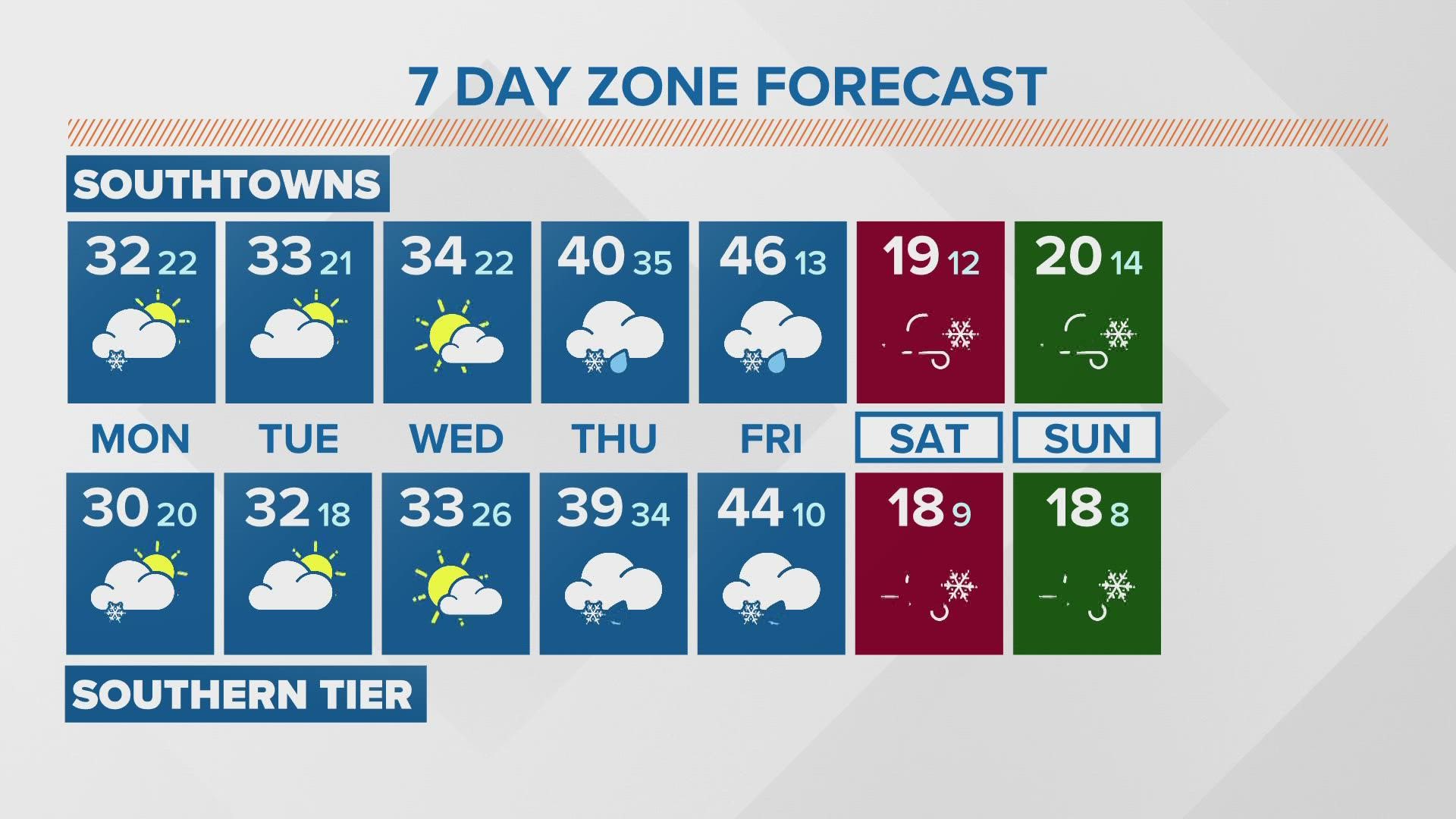
The snow band over southern Erie County this morning will continue to slowly drift even farther south into deeper Southern Erie County and the Southern Tier Sunday afternoon as winds shift to be more due westerly throughout the day. This is when the highest snowfall rates are also possible, between 1 to 2 inches an hour. This band will then stay over the Southern Tier Sunday night and into Monday, so the Southern Tier will pretty much pick up all of their snow accumulations Sunday and Monday, between 1 to 2 feet.
Leftover lake effect snow will gradually taper off Monday morning.
SATURDAY
11:24 p.m. The snow has arrived in Orchard Park, where the Bills have rallied to tie the Dolphins at 29 with less than 10 minutes to play.
9:23 p.m. 2 On Your Side Chief Meteorologist Patrick Hammer says snow could possibly return to the stadium during the fourth quarter. Carl Lam adds, "If you're wondering where the snow is for the game, the winds have kept the band north and an edge of the band is just 8 miles away from Highmark Stadium."
6:50 p.m. It's business as usual in Orchard Park, where fans are ready to watch the Bills in prime time.
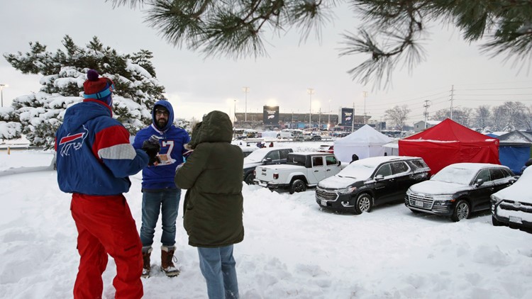
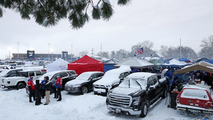
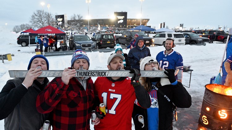
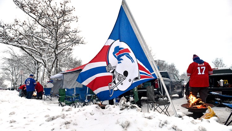
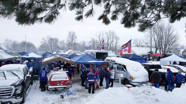
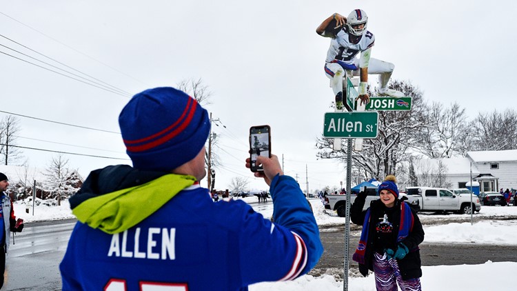
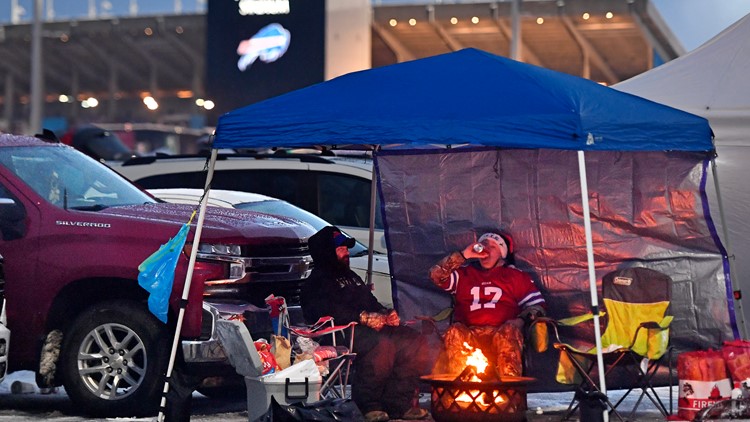
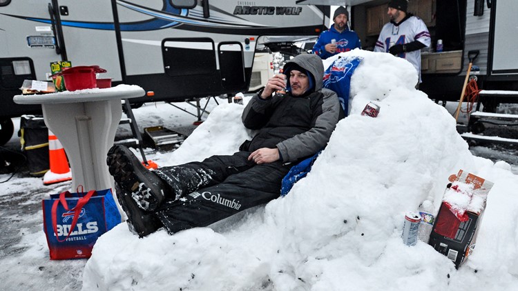
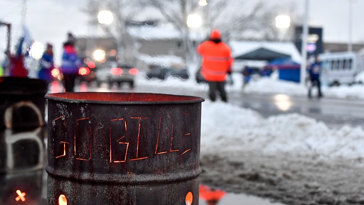
6:26 p.m. Bills Mafia will always find a way to tailgate.
PHOTOS: Bills fans tailgate before prime-time Dolphins game
5:52 p.m. Erie County Executive Mark Poloncarz shared this video from North Buffalo, as the lake effect snow bands start to shift south.
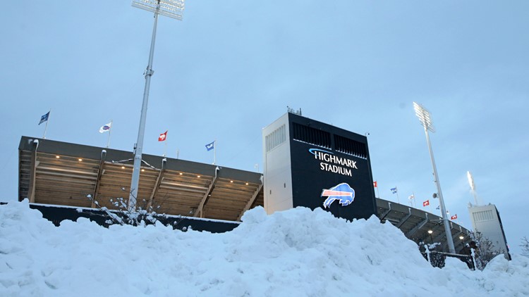
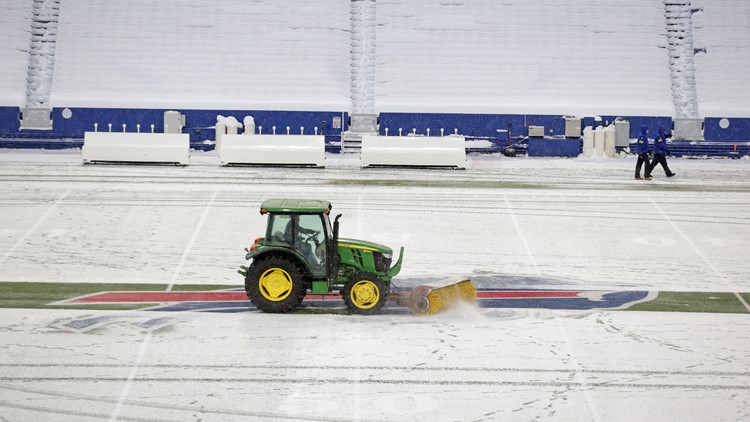
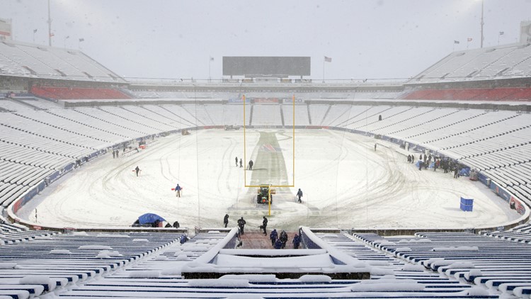
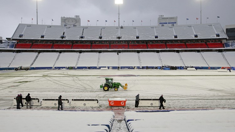
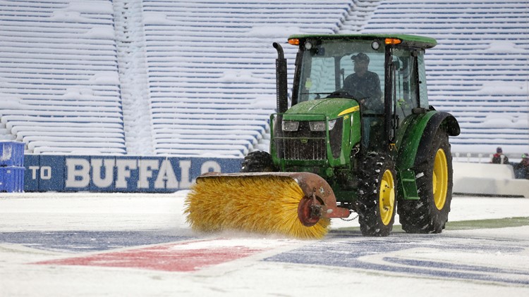
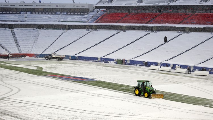
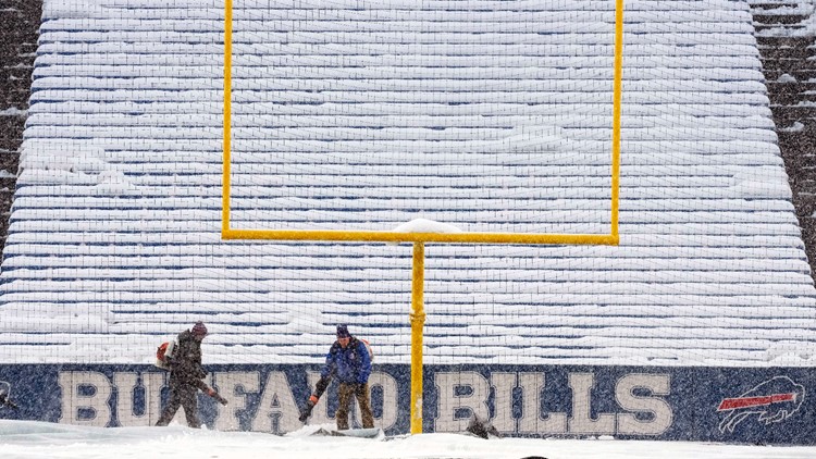
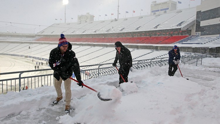
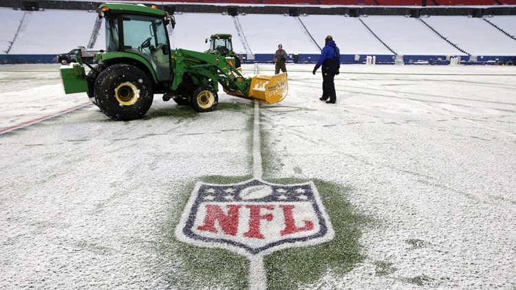
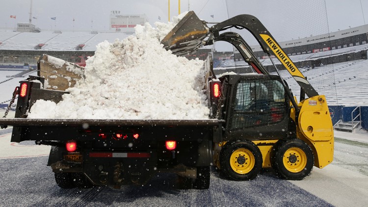
5:40 p.m. The snow removal effort at Highmark Stadium, in pictures:
PHOTOS: Highmark Stadium snow removal
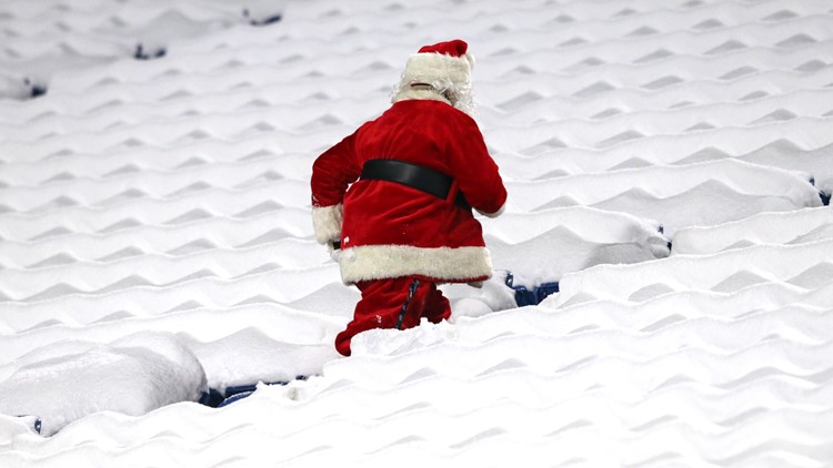
3:57 p.m. Snow awaits Bills fans inside the stadium.
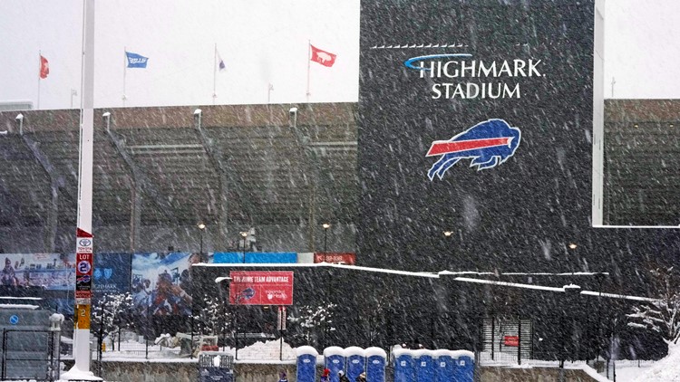
3:35 p.m. The roads heading to Highmark Stadium, as you might expect, are congested. The snow isn't helping.
2:29 p.m. There will extra crews in the Southtowns, working to clear the roads as fans arrive for the Bills game, and to ensure decent driving conditions afterward. The state Department of Transportation also asks that fans avoid parking on the shoulders of the road, with so many crews working.
1:36 p.m. A look at the radar as another Bills kickoff nears.
12:42 p.m. Buffalo Mayor Byron Brown provided an update on the city's efforts in clearing the roads.
11:57 a.m. Is it Dippin' Dots or graupel? The West Seneca Police provided an update on what you might see on the roads.
10:25 a.m. If you're going to head outside today, stay informed on what the weather conditions and road conditions.
9:51 a.m. Buffalo Police said crews are clearing both main and secondary roads. Be aware of plows, and be careful when you're on the road.
FRIDAY
11:32 p.m. If you're looking for expected snow totals for this storm, here's the latest from Elyse Smith.
11:09 p.m. In addition to a shovel, AAA is reminding Bills fans going to Saturday night's game to make sure you have a full tank of gas, an extra set of gloves, a hat, and a phone charger. And if you're going early to tailgate, AAA said there is something else to keep in mind.
9:44 p.m. Buffalo Police said they've started to put salt down on main and secondary roads with rain and snow both falling.
9:16 p.m. Here's the view from Patrick Hammer's Orchard Park office as the snow starts to come down across the region.
8:40 p.m. Just ahead of the Saturday night, possible snow-impacted game between the Bills and Dolphins at Highmark Stadium, the NFL has reviewed its rules with Bills officials and stadium grounds-keeping staff as to what they should expect for snow removal during the game.
7 p.m. The Lake Effect Snow Warnings across portions of Western New York are now in effect.
5:45 p.m. Hamburg Town Supervisor Randy Hoak joined the 2 On Your Side Town hall to discuss road conditions, and what he wanted drivers to know about this particular storm, especially with the Bills prime-time game. "We're going to see increased traffic throughout the town, and we're hopeful that folks will take whatever opportunity they can to carpool, if they can," he said.
5:22 p.m. As with all lake effect storms, where exactly that narrow band ends up shifting or stalling can have a big impact on where the snow falls.
The City of Buffalo during a Friday news conference said it will be ready, and that includes the city's new GPS system to track snow plows, which wasn't working entirely during the last lake effect snow event.
"We've been improving the system. The reporting accuracy is there," Buffalo Department of Public Works Commissioner Nate Marton said.
"So we're more highly functional and more accurate than we were in the last storm, so we'll see that I think a better product from the residents' standpoint. They'll be able to see with more accuracy."

