Snow has a pretty straightforward recipe: if there’s enough moisture and enough cold air, precipitation will fall in flake form.
The same thing goes for rain: as long as air temperatures are above freezing from the ground up to a few thousand feet, it’ll just be wet.
It’s all of the precipitation types in between that get a little more, well, mixed up. Freezing rain and sleet each come with their own set of slippery problems, and their own unique weather setups too.
In the case of sleet, think of the atmosphere as a warm air sandwich. There’s plenty of cold air up at the cloud level, allowing for snow and ice particles to form and fall. Then there’s a layer of warm air just below that. This is where the ice and snowflakes melt into water droplets as they fall.
But before those droplets hit the ground, they fall through another fairly thick layer of cold air and re-freeze.
By the way, sleet and hail are completely different from each other. Heather explains how in this week’s episode:
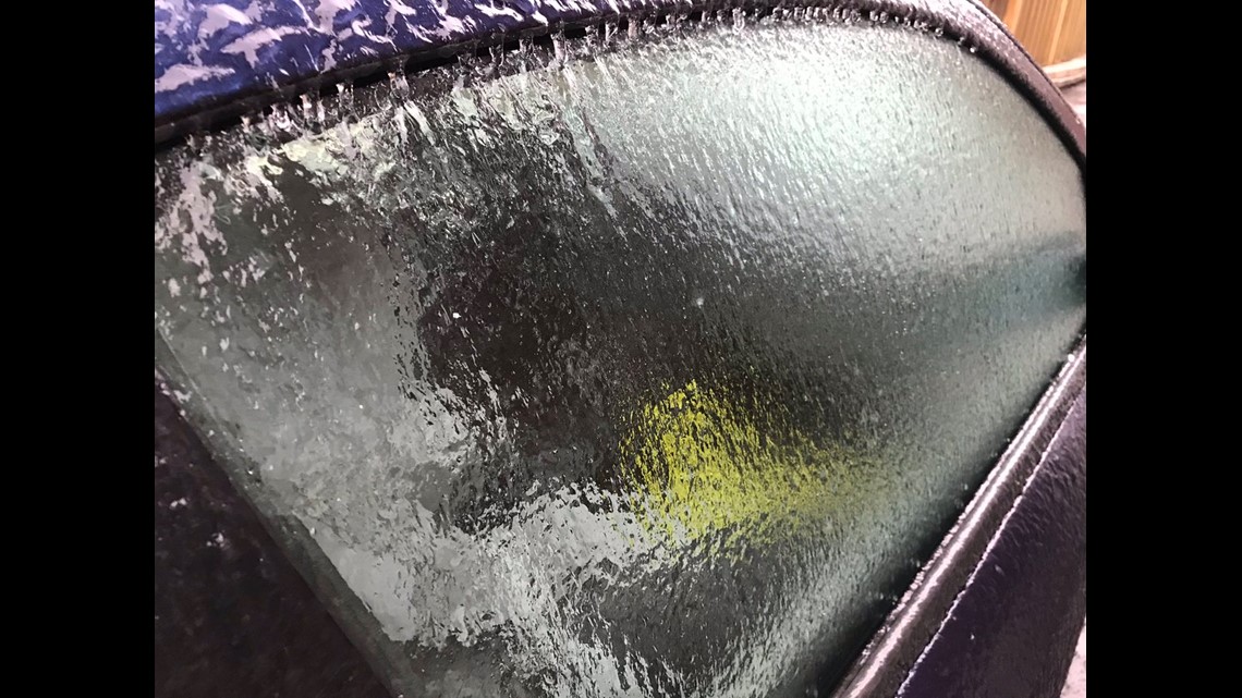
Freezing rain is tricky to detect unless you’re paying close attention. As the name suggests, precipitation falls as rain and then freezes on contact. It’s a similar atmospheric setup to sleet, but the layer of cold air close to the ground is much thinner. Freezing rain can be far more treacherous than sleet.


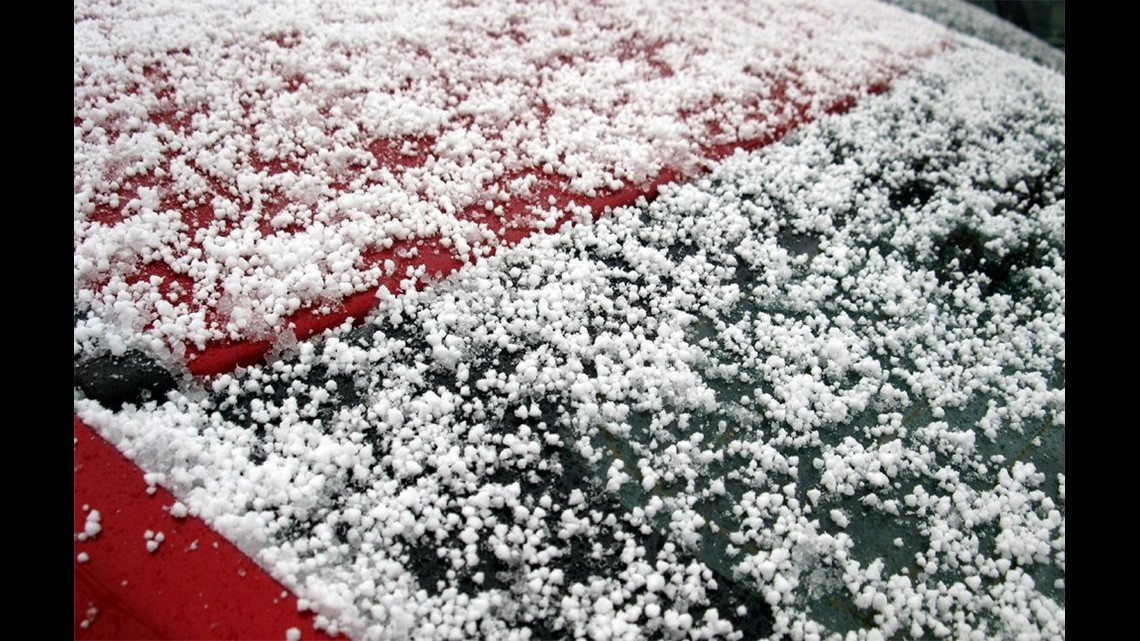
Graupel is sort of the weirdo here. It starts off as a mixture of supercooled water droplets and snowflakes in a cloud. As precipitation falls, some of the water droplets freeze to the snowflakes, creating what looks like tiny styrofoam balls. Graupel’s unique look gets it a lot of attention on social media. The funny name probably helps too.


Speaking of, remember to send us your pictures proving when funky precipitation is falling near you! Your reports give us extra eyes in places we can’t always be and they help us confirm something that radar might not be picking up.
Remember to keep your safety a priority when taking any weather photos. Share them on our Facebook and Twitter platforms using #BeOn2. You can also contact us here.


