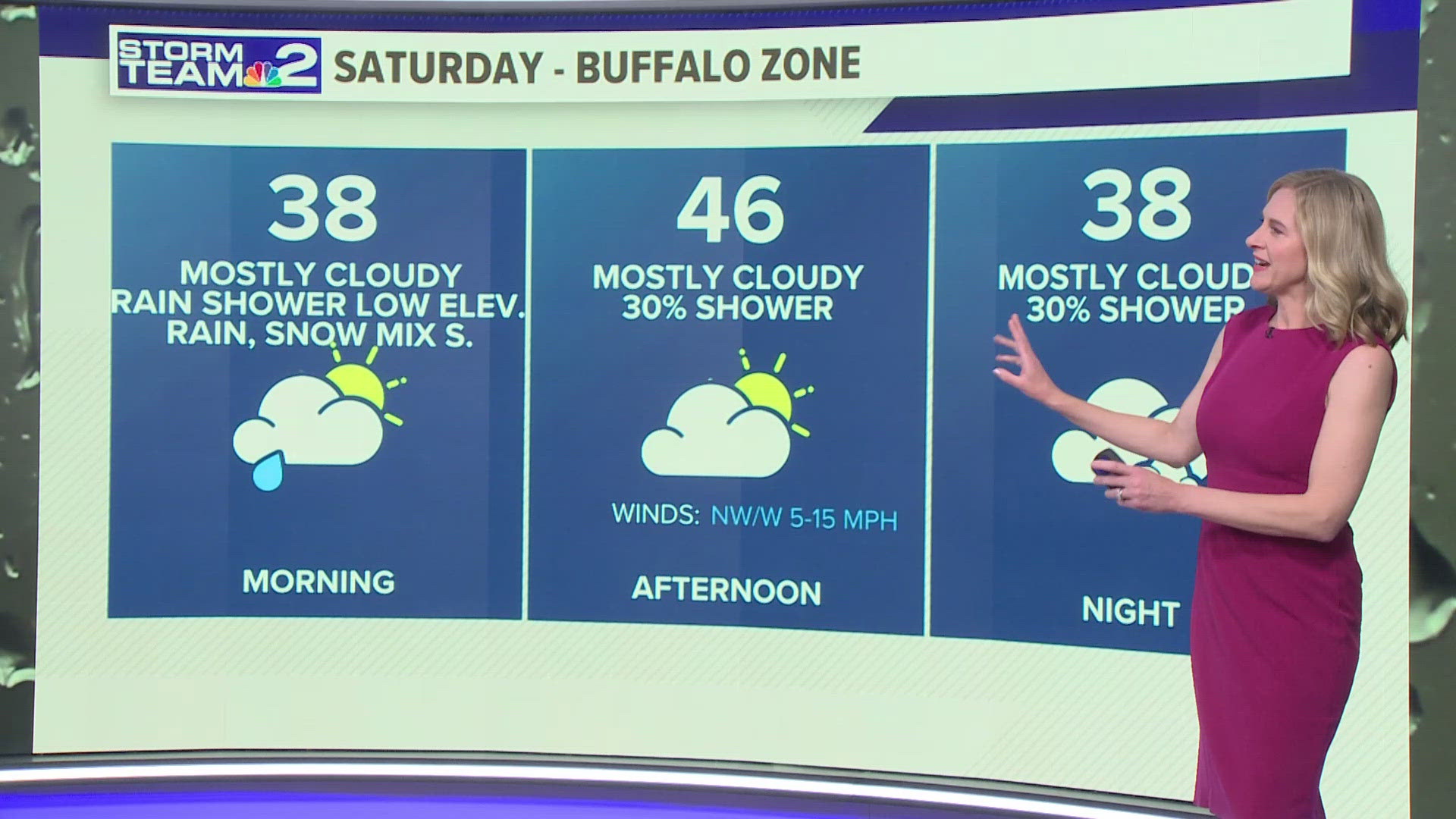
If you ask a meteorologist how they go about making their forecast, every one of them should tell you that they start by looking at weather observations. It’s critical to know what we’re experiencing at the surface, but it may be even more important to know what’s happening 1,000, 5,000 even 10,000 feet above our heads.
It makes sense if you think about it for a second: that’s where the clouds are. Knowing what’s going on with the temperature, dew point and winds between the clouds and the ground can help unravel questions about severe weather potential, precipitation type, or whether precipitation will even reach the ground.
As summer transitions into winter, the atmosphere is at its most chaotic. We experience that in the wild temperature swings and howling winds in late fall. The closer we get to winter, the more important it gets to pay attention to the mid and upper atmosphere for clues on the next big swing.
In this week’s Heather’s Weather Whys, Heather shows how meteorologists can measure the temperature at those heights, how that data can be visualized and most importantly, how it is used in everyday forecasting.
New episodes of Heather’s Weather Whys are uploaded to the WGRZ YouTube channel and WGRZ.com every Wednesday. You can also catch episodes every Thursday at 5:30 on Channel 2 News.
If you have a weather question for Heather to answer in a future episode of Heather’s Weather Whys, send it to her on Twitter or Facebook. You can also email her at heather.waldman@wgrz.com


