If you were to look at the winter of 2014 and 2015 in Buffalo from a broad scale, it wouldn’t look like anything special. Temperatures came out just below normal, and snowfall totals came out just above normal.
But break the winter down into two main events, "Snowvember" and the polar vortex pattern in February, and you have a season that earned a reputation for as one of Western New York’s worst winters.
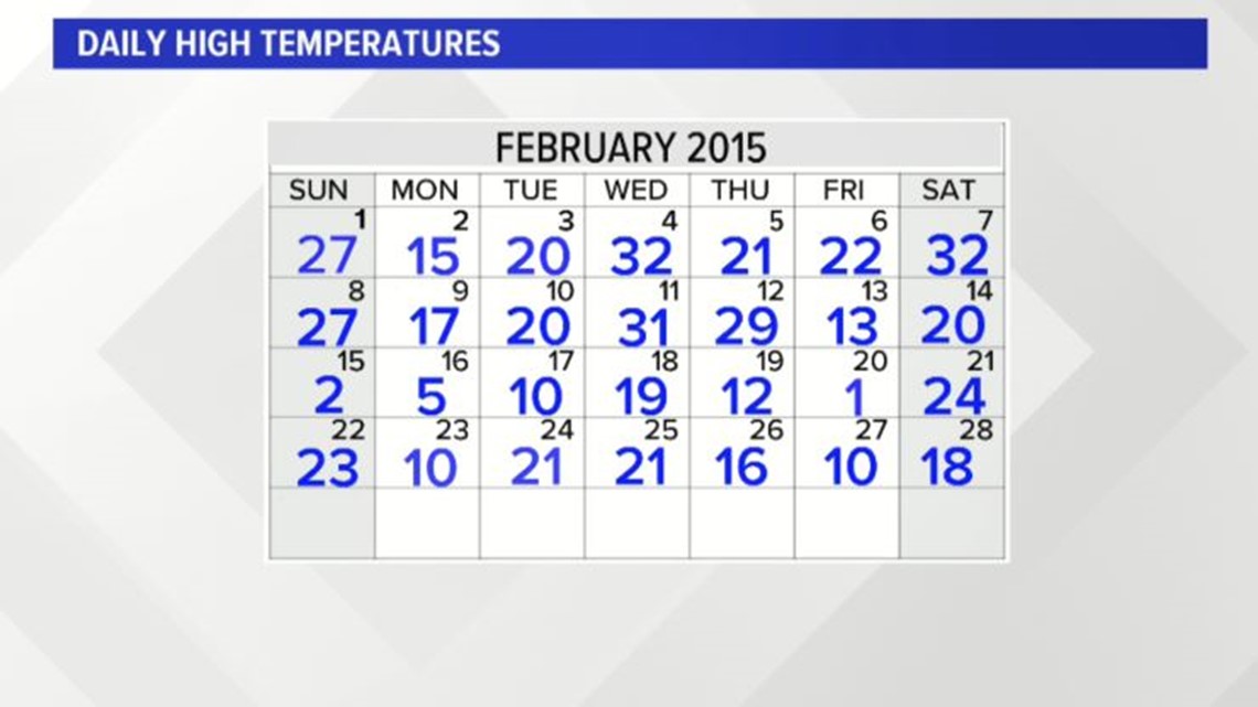
Not a single day in February 2015 recorded a temperature above freezing. There were 10 days where the high temperature for the day didn’t even make it above the average low temperature for the date.


The month as a whole had an average temperature of just 10.9 degrees Fahrenheit. That makes February 2015 the coldest month in Buffalo’s recorded history. The previous record was held by February 1934, when the average temperature was 11.6 degrees.
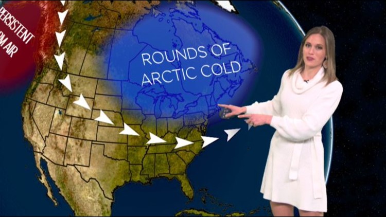
This week’s Heather’s Weather Whys explains the large scale weather patterns that came together to produce such remarkable cold for Buffalo and the rest of the Northeast.
New episodes of Heather’s Weather Whys are posted to the WGRZ YouTube channel every Wednesday evening. You can also watch on Thursdays at 5:30 p.m. on Channel 2 News.
If you have a weather question for Heather to answer, send it to her at heather.waldman@wgrz.com or connect with her on Facebook or Twitter.


