This winter season, and in particular the month of January, has been very mild for Western New York and the entire Great Lakes region. That’s led to near-record-low ice coverage on all five Great Lakes.
As of February 5, ice coverage throughout the entire basin was just 6.8%. Lake Erie has no detectable ice cover. Both of those numbers make the bottom-five list for ice coverage at this point in the season.
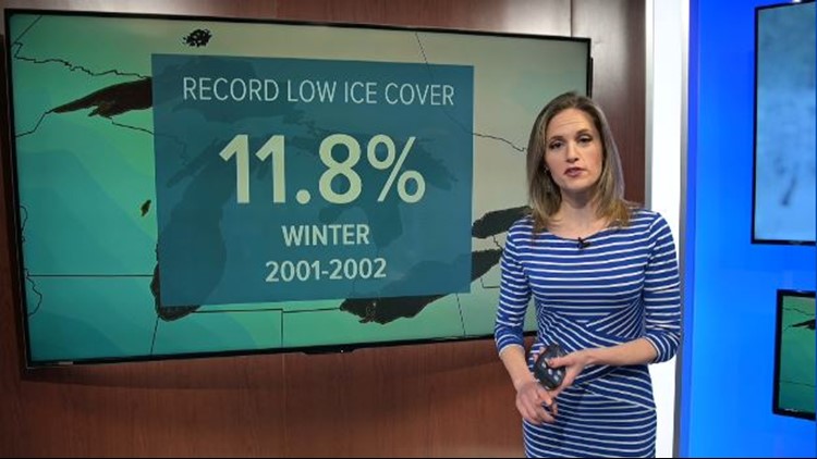
A winter season record low won’t happen for the Great Lakes this year, though. Back on January 21, ice coverage had reached 11.8%. That tied the previous record low ice coverage set back in the winter of 2001 and 2002.
Despite the wide-open waters, snow totals have been quite low for many places immediately downwind of the lakes. The exceptions are cities in the northern Great Lakes region, where average high temperatures are in the teens. There, even highs 10 to 15 degrees above normal would still be plenty cold enough to produce snow.


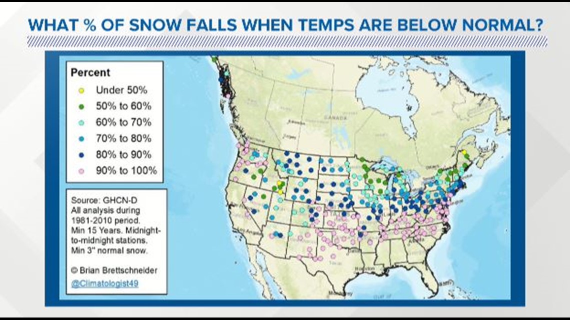
Most of Buffalo’s average annual snowfall comes on days where temperatures are below normal for any given date.
The map above, created by climate scientist Brian Brettschneider, shows that many locations in the Upper Midwest see about half of their snowfall on those colder-than-normal days. This data brings some perspective to the fine line we walk with lake effect snow. The air has to stay mild enough to leave the lakes open, but if it’s too mild, then it won’t snow. Period.
New episodes of Heather’s Weather Whys are posted to the WGRZ YouTube channel every Wednesday evening. You can also watch it on Thursdays at 5:30 p.m. on Channel 2 News.
If you have a weather question for Heather to answer, send it to her at heather.waldman@wgrz.com or connect with her on Facebook or Twitter.


