BUFFALO, N.Y. — Sightings of Air 1, the Erie County Sheriff's Office helicopter, have been common over recent months as police departments receive help in tracking stolen vehicles or missing people.
But what if you see a single-engine, low-flying plane in the Erie County or Niagara County skies?
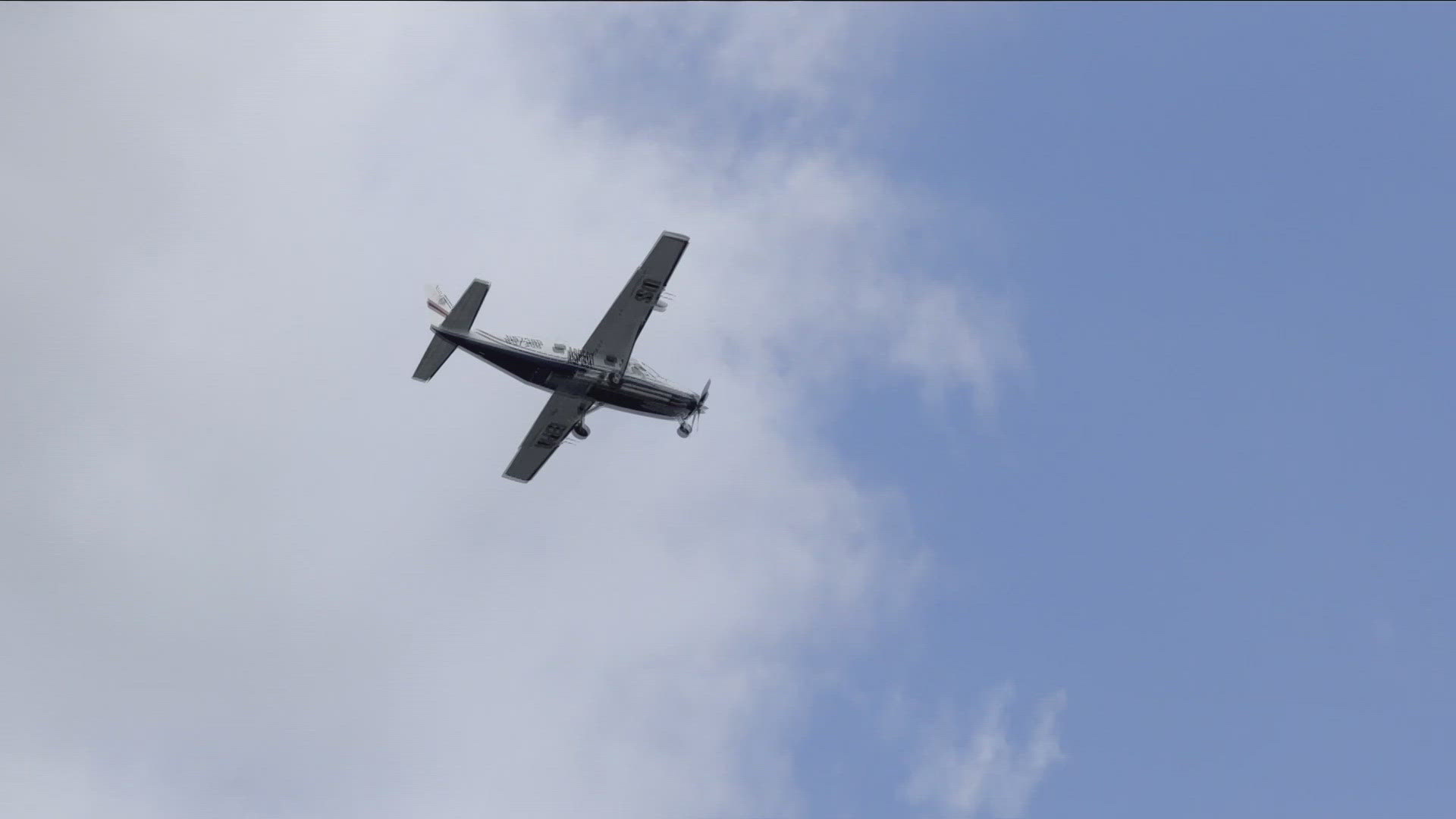
It very well could have been the Airborne Spectral Photometric Environmental Collection Technology plane, also known as ASPECT. You might have spotted it last year, when it was being used by the state's Department of Environmental Conservation to conduct a radiological survey of the region.
The DEC, in a recent news release, said the ASPECT flight crew completed roughly 15 percent of its survey last fall, including parts of downtown Buffalo's business district. The flights were eventually suspended following weather-related issues, and they resumed earlier this week.
The survey is being done in partnership with the U.S. Environmental Protection Agency.
The North Texas-based plane "is equipped with a suite of sensors for measuring potential radiation sources. The various sensors on the plane generate data to help assess the presence of material at ground level that could contain radiological material. Photographs of property will not be taken during the flyover," the DEC said.
The plane will fly roughly 500 feet above ground level during the next month, including weekends. It will follow a "carefully planned linear grid pattern," according to the DEC.
ASPECT is loaded with sophisticated gear to detect chemicals, pollutants, ground radiation, and more.
Information gathered by the ASPECT survey will be used by state and federal officials, who could then decide to follow up with more surveys and sampling on the ground.
According to the DEC, the last time a radiological survey of this size was conducted in Western New York was in 1984.
"They identified maybe several dozen, maybe 100 hotspots, most of which were not really addressed beyond knowing that they're there," attorney Thomas Tuori said.
Tuori is a partner at Harter Secrest & Emery LLP, a law firm that has represented several Western New York clients impacted by radiological waste.
"The information largely is lost to history because no one is paying attention to it," Tuori said.
Some of the hotspots identified in the 1984 survey weren't much of a surprise, given Western New York's role in the Manhattan Project.
The survey did reveal that numerous roadways, parking lots, driveways, and building foundations used fill that consisted of radioactive slag.
"That was purposefully used in place of gravel, because the contractors could use it, and could get it cheaper, right?" Tuori said.
Fast-forward 40 years, the new survey could reveal hundred, maybe even thousands of hotspots, Tuori says, given the fact that technology since the 1984 survey has advanced so much.
2 On Your Side asked the DEC for an interview, but no one was available. WGRZ followed up asking about any potential changes to state regulations regarding the removal of radioactive waste.
A spokesperson for the DEC said the agency will follow-up with a ground survey for any new radioactive hotspots that may be discovered in the new survey.
State law has strict guidelines for the storage and removal of radioactive material.
The massive cleanup at the Niagara Falls Storage Site in Lewiston, for example, will result in the complete removal of waste to an out-of-state storage facility.
Touri says the EPA, DEC and other agencies will need to either change regulations, or find funding to have the hot spots remediated.
"A small hot spot on one residential driveway cost several $100,000 to a half million," Tuori said. "A commercial parking lot, significant sized, $10 to $15 million, so if you have hundreds or thousands of those, the costs are going to be in the billions."

