BUFFALO, N.Y. — Bomb cyclone.
Have you heard this term to describe the storm heading our way?
Our region is expecting a bomb cyclone, or bombogenesis this weekend.
While these terms sound rather scary, the truth is they are true meteorological terms that describe this storm accurately.
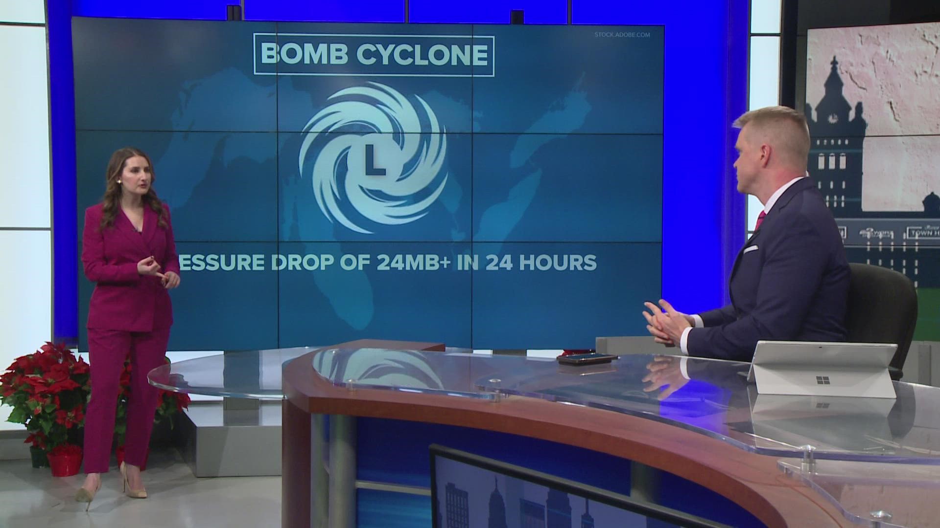
A bomb cyclone is an area of low pressure that strengthens explosively. Technically, it's an area of low pressure that drops 24 millibars in less than 24 hours. Thus, it officially "bombs out" or undergoes bombogenesis.
This area of low pressure crossing the country is going to go from a strength of 990 millibars when it's near western Lake Erie on Thursday night down to 968 millibars once it's deep into Ontario. This easily meets the definition of bombogenesis.
The National Weather Service (NWS) says millibars comes from to the original term for pressure "bar". A millibar is 1/1000th of a bar and is the amount of force it takes to move an object weighing a gram, one centimeter, in one second. Millibar values used in meteorology range from about 100 to 1050. At sea level, standard air pressure in millibars is 1013.2.
The results of such a strong storm that strengthens so quickly are wind gusts here that could exceed 60-65 miles an hour and cause a temperature drop of 20 to 30° in a matter of hours and heavy snow. This is all expected Friday into Friday night as the storm passes just to our north.
Be sure to download the WGRZ APP on your cellphone, tablet, Roku, or Firestick to keep up with the latest information. Storm Team 2 will have the latest weather updates throughout this winter storm on Channel 2, WGRZ.COM, and WGRZ+.

