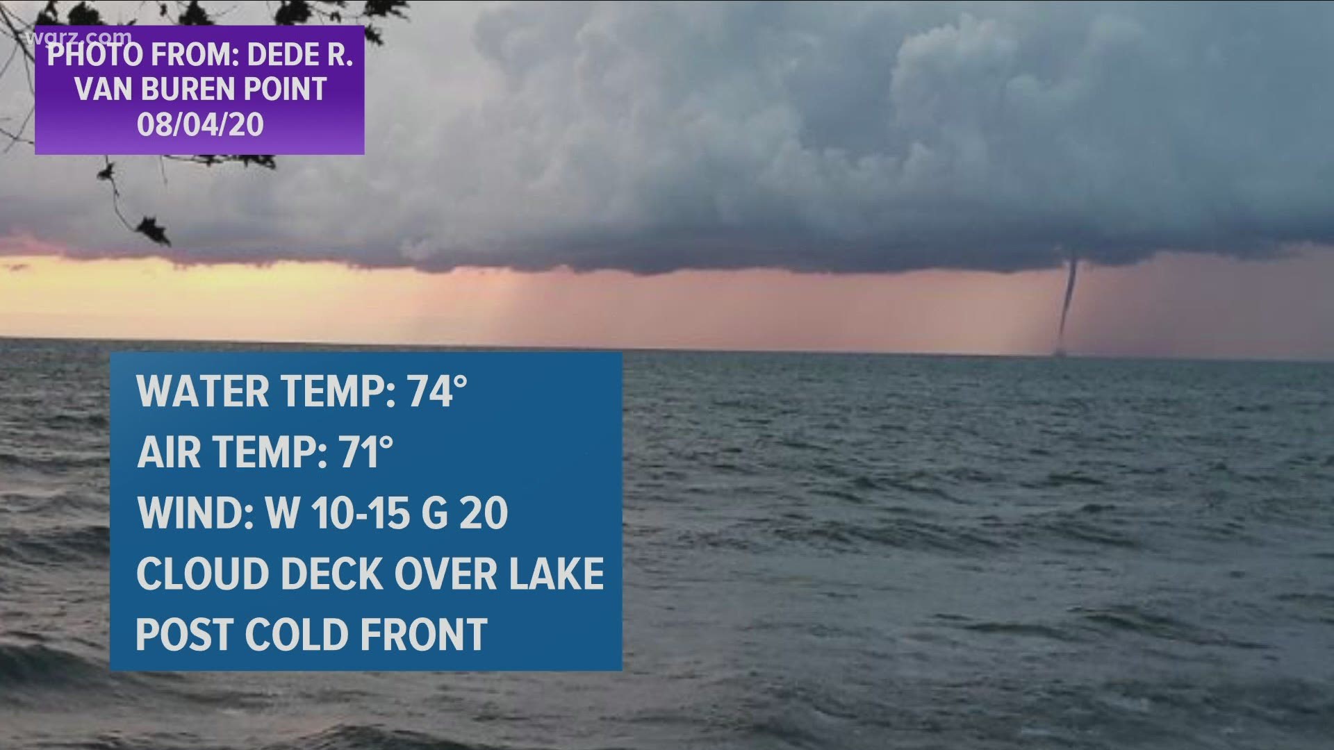
BUFFALO, N.Y. — Storm Team 2 received several reports of waterspouts over Lake Erie and Lake Ontario for the past three days, though Thursday morning was particularly active.
October is the tail end of waterspout season in Western New York, and usually the most active. This is due to the greatest difference in warm surface lake temperatures and the coo air above. And the most common type of waterspouts, like the ones that were spotted this week, are fair weather waterspouts.
Waterspouts are whirling columns of air and mist associated with an intense vortex, or funnel, that typically develop over water. Fair weather waterspouts only form over open water and are relatively weaker in nature and develop at the base of cumulus clouds. They start at the surface of the water when the combination of warm water temperatures and high humidity create a small circulation that gets stretched into the clouds.
Typically, when the forecast calls for the development of waterspouts, the National Weather Service will issued Beach Hazard Statements or Marine Warnings, which several of each were issued over the past few days. The chance for waterspouts will continue Thursday and diminish once the forecast dries out Friday.
RELATED: Storm Team 2 Weather Forecast

