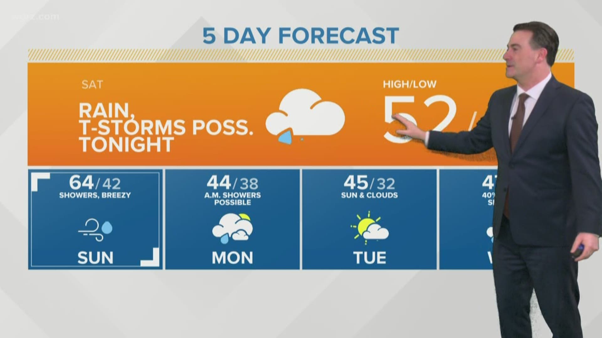
BUFFALO, N.Y. — Western New York's forecast over the next five days will be influenced by several weather systems and an overall active pattern. This means a few chances for rain, but the new week will start with snow.
Thankfully, this snow will be of little impact and not stick around for long.
Weak surface low pressure with complementary jet stream energy will bring an area of precipitation to the region after Midnight Sunday. At first, precipitation will fall as snow Monday morning with temperatures near freezing.
For Buffalo, Niagara Falls, and more populated areas, a dusting of snow could accumulate by mid-morning. Up to an inch can be expected in higher elevations.
Once temperatures begin to rise Monday morning, snow will mix with rain before transitioning to all rain after lunchtime. Scattered showers then continue through Monday evening, clearing out for Tuesday.
Rain accumulates could reach a quarter of an inch, but any rainfall that follows Monday will help melt the snow that sticks around.
After Monday, temperatures rebound Tuesday and stay within the seasonal range through the week with the next chance for rain Wednesday.
RELATED: Storm Team 2 Weather Forecast

