
BUFFALO, N.Y. — A strong, sweeping cold front will approach and move across the Northeast on Tuesday. Depending on its timing crossing through Western New York, it will either be a hit or miss for a few severe storms that day.
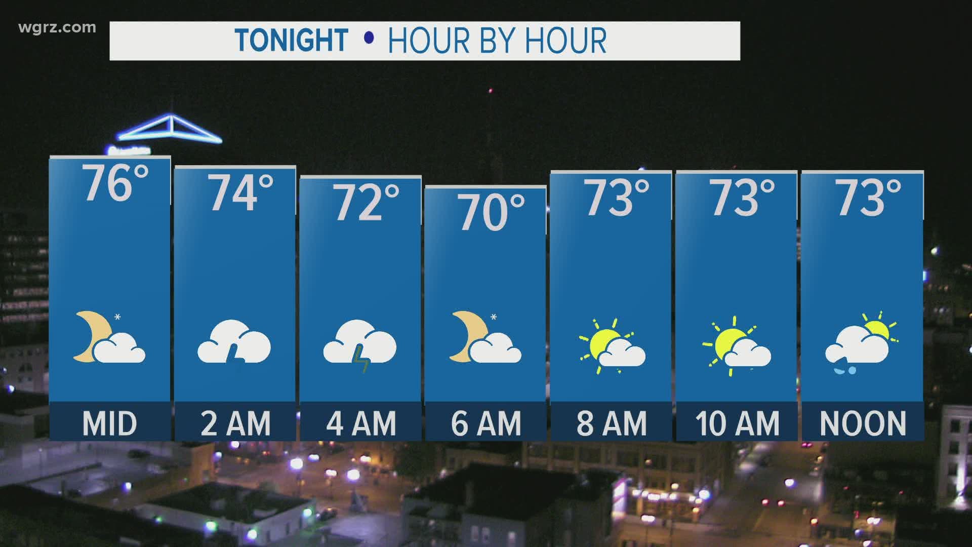
Ahead of that front, a few isolated heavy storms are possible overnight Monday into Tuesday.
There is still some uncertainty when it comes to Tuesday afternoon.
1. If the cold front moves through in the morning, a few storms are possible but will likely be on the weaker side.
2. If the cold front moves through in the afternoon or evening, there's a better chance for storms to develop, organize and strengthen.
Even with scenario 2, storms would be most likely south of the Thruway, meaning Buffalo and areas north would stay mainly dry. At this point, it looks like the front will cross through around midday on Tuesday, limiting the strength of most of the storms until they pass well to our east later Tuesday afternoon.
A better chance of needed rain is shaping up for later this week as the leftover from Laura head north and then east. This would not mean an organized tropical storm for Western New York, but some soaking rain is possible late Friday into Saturday especially.
RELATED: Storm Team 2 Weather Forecast