BUFFALO, N.Y. — It’s hard to keep track of all that’s happened in 2020, even when it comes to the major weather stories.
There has been plenty of heat, both nationally and here in Western New York. Buffalo has also been the victim of a couple of big wind storms. But in the Atlantic Ocean basin, a truly hectic hurricane season has kept anyone with coastal property on their toes since May.
Technically, the Atlantic hurricane season runs from June 1 through November 30, but storms can and certainly have formed outside of those bounds. This year, tropical storm Arthur developed in mid-May.
Since then, another 29 storms have been named with 13 of those storms strengthening into hurricanes. Of the 13 hurricanes, six made landfall in the continental United States.
Those numbers cement 2020 as the most active Atlantic hurricane season on record. But how did we get here? To answer, let’s consider the two atmospheric “musts” for hurricane formation: warm and water and light winds.
Hurricanes develop and thrive when surface ocean temperatures are 80 degrees Fahrenheit or higher. That bath-like water has been available in large supply in the central and western Atlantic. In fact, most of the basin is currently experiencing water temperatures several degrees above normal.
Part of the reason for the warmer-than-normal water has a climate connection. Earth’s mean global temperature has been rising by an average of 0.18 degrees Fahrenheit every decade since the late 1800s. Of all of the warming happening on planet Earth, 90% of it is occurring in the oceans, which take up 71% of Earth’s surface.
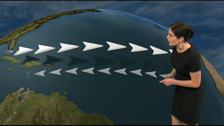
Weak winds may seem counterintuitive for a hurricane, but the storms tend to hold together best in an atmosphere with a calm background breeze. Stronger atmospheric winds produce more wind shear, meaning the winds change speed or direction more dramatically over shorter distances.
If a developing tropical cyclone runs into an area of higher wind shear, it’s like the storm goes through a shredder: it gets torn apart by the strong winds.
RELATED: What makes the wind blow?
This year, winds in the mid and upper atmosphere have been calmer than normal most of the fall season. These weaker winds have allowed many storms to pop up, resulting in a much busier than normal October and November for the tropics. A La Nina pattern is a big part of why these tropical winds have been so light.
New episodes of Heather’s Weather Whys are posted to the WGRZ YouTube channel every Wednesday evening. If you have a weather question for Heather to answer, send it to her at heather.waldman@wgrz.com or connect with her on Facebook or Twitter.


