BUFFALO, N.Y. — One of the things that sold me on moving to Western New York to forecast the weather was just how different the weather can be over a stretch of just miles. The world knows about our lake effect snow, of course, which can dump 5 feet over Springville but just 5 inches in Hamburg.
But sometimes the temperature forecast can be tricky to pinpoint too. During the fall season, morning low temperatures can vary over 20 degrees from the lake shore to the Southern Tier valleys.
As you might expect, Lake Erie plays a role... sometimes. On nights with light winds or a little bit of a west or south westerly breeze, communities close to the water are insulated a little bit. That’s because water temperatures are still in the 60s. The air right over the warm water can drift inland overnight and keep temperature a little higher.
But the lake isn’t everything. Take a calm night similar to the one mentioned above. Sure, that keeps communities near the water warmer, but light winds means the lake temperature has no influence in the interior Southern Tier. Instead, it’s something called radiational cooling.
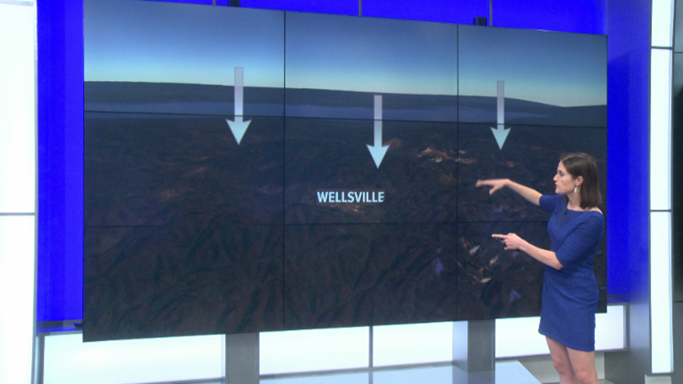
Once the sun sets, the lowest part of the atmosphere starts to cool down. As the air cools, it gets more dense or heavier than milder air around it. The heavier, cooler air sinks until it can’t anymore. That usually means that the heaviest, coolest air will end up settling into the many valleys throughout the region. That’s why some nights, Buffalo could stay at 50 degrees while somewhere like Wellsville or Ellicottville plummets into the mid 30s.
New episodes of Heather’s Weather Whys are posted to the WGRZ YouTube channel every Wednesday evening. If you have a weather question for Heather to answer, send it to her at heather.waldman@wgrz.com or connect with her on Facebook or Twitter.


