BUFFALO, N.Y. —
A week ago many Western New Yorkers were cleaning up after a round of explosive thunderstorms swept through the area under cover of darkness. Over a dozen reports of wind damage and large hail came into the National Weather Service office in Buffalo.
Intense winds also brought down some large trees in the City of Buffalo and knocked out power to several thousand people through early Wednesday morning.
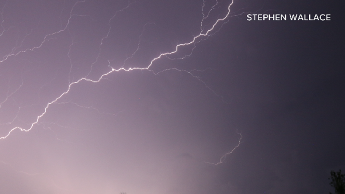
It’s no coincidence that storms with hail that large also had nearly constant lightning. Actually, the two tend to go hand in hand.
It all has to do with why lightning happens in the first place: as thunderstorms develop, electrical charges separate out in the cloud. Positive charges migrate towards the top of clouds and negative charges sink to the bottom of the cloud.
To balance things out, positive charges start to gather in the ground beneath the storm. Once enough charge builds up, the energy is discharged as an intense flash of light and burst of heat: lightning.


Now bring in hail. As hailstones grow and tumble around high up in a thunderstorm, they bump into each other and create friction. That friction builds up additional electrical charge. More charge equals more potential for lightning.
Watch this week’s episode for a full recap of the storms including many photos and videos shared by Channel 2 viewers. Remember, any time you have a weather photo to submit, you can post it on social media using #BeOn2.
New episodes of Heather’s Weather Whys are posted to the WGRZ YouTube channel every Wednesday evening.
If you have a weather question for Heather to answer, send it to her at heather.waldman@wgrz.com or connect with her on Facebook or Twitter.
RELATED: Storm Team 2 Weather Forecast


