BUFFALO, N.Y. — We show you the latest radar imagery every single day during our newscasts and in our social media posts. It’s an easy way for forecasters to get a beat on how the atmosphere is behaving throughout the country and an easy way for you to decide whether you should toss the umbrella in the car before leaving home.
RELATED: Check radar any time at this link or on the WGRZ app!
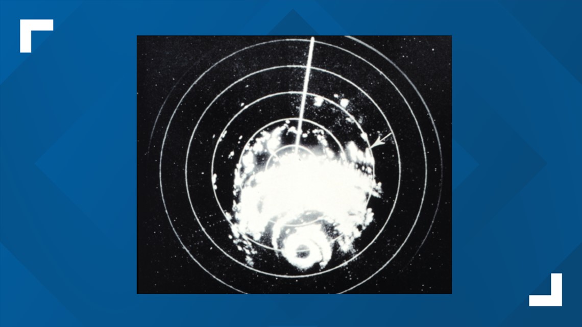
Radar imagery was first used on television ahead of Hurricane Carla in 1961. Back then of course, computing power was far weaker and technology just didn’t have the power it does today so the image looked quite different from what we’re used to now.


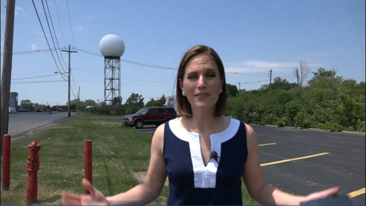
The imagery may have undergone some serious improvements, but the overall technology is basically the same as it’s always been through the decades. Every minute, the radar inside the large radar dome sends out a pulse of microwave energy.
Yes, that’s the same kind of energy emitted by your cell phone and by the microwave oven in your kitchen, although those signals are far weaker than what a radar produces.
That pulse of energy travels through the air at a set trajectory. It continues to move away from the radar dome until it runs into something that it can’t pass through. When that happens, part of the energy pulse gets bounced back towards the radar.
The radar is programmed to pick up on those return pulses. The stronger the return, the bigger the particles must be or the more closely spaced together they must be. We see those big returns as heavy rain or snow. The weaker returns show up as lighter areas of precipitation.
Of course if the outgoing microwave pulse doesn’t run into anything, it eventually just fizzles out into the atmosphere and never returns to the radar. That radar image would look blank on the map we use on air or the app you check on your phone, indicating a clear weather day.
Radar technology isn’t quite perfect though. It takes some human smarts to sort out the precipitation from something else that the radar may pick up.
You may have noticed some stationary blobs on our radar image in Wyoming and Chautauqua County. Those are wind farms. The radar’s energy pulse is getting bounced back by the huge wind turbines in those spots. Radar has also been known to spot bats leaving their caves at sunset and even huge swarms of cicadas emerging in the Mid-Atlantic.
New episodes of Heather’s Weather Whys are posted to the WGRZ YouTube channel every Wednesday evening.
If you have a weather question for me to answer, send it to heather.waldman@wgrz.com or connect with me on Facebook or Twitter.


