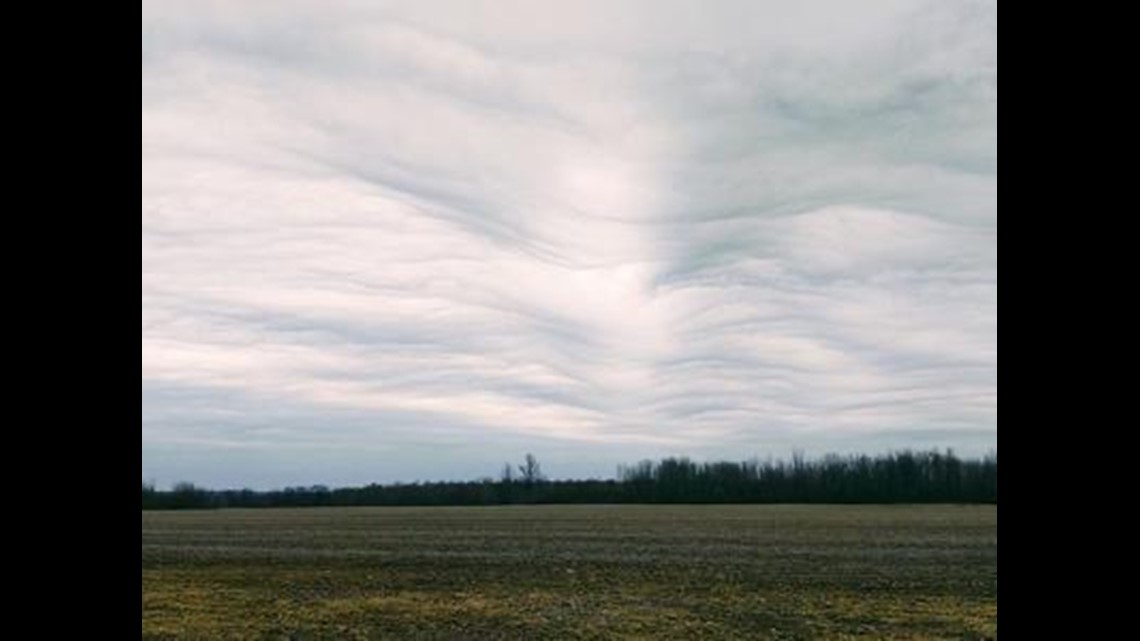
BUFFALO, N.Y. — WGRZ and Storm Team 2 received several viewer photos of widespread, wavy clouds that were over parts of Western New York Tuesday.
Those were "Asperitas" clouds. As defined in the World Meteorological Organization's International Cloud Atlas, Asperitas have a well defined, wave-like structure seen on the underside of a cloud. These clouds are part of the "Undulatus" variety of clouds and can range is size and thickness.
Characterized by looking like ocean waves in the sky, Asperitas clouds develop when atmospheric wave energy is low enough in the sky to be near the level where clouds form. So you could say that wave energy in the atmosphere helps lead to that "wave-like" appearance.


For this cloud type, the base level at which they develop is usually around or below 2,000 feet. And though they may look dark and ominous, they don't produce precipitation, but can be associated with weather system that do.
Asperitas clouds are most common in the spring, summer and fall months and usually seen across the Plains in central United States. That's because these clouds are usually seen after large scale thunderstorm events. However, whenever weather conditions are right, these clouds can develop anywhere.
Like here in Western New York Tuesday. While there were no thunderstorms, we did receive a light wintry mix early Tuesday morning. Which, if you were to take that weather system and placed it in the summer, could have lead to the development of rain or even thunder. Then a few hours later, Asperitas clouds were spotted Tuesday afternoon.


