BUFFALO, N.Y. — Monday marked the 11th day in a row with snow falling in Buffalo. But this snowy streak will be replaced by frigid temperatures by week's end, where temperatures could fall below zero for the first time in four years.
Later this week an arctic front will bring a surge of bitterly cold air from northern Canada to the Northeast. Temperatures are forecasted to be in the single digits Friday, potentially dropping below zero overnight into Saturday morning. Currently, the forecast low for Saturday morning is -4 degrees. The record low temperature for February 4 is -9 degrees set back on the date in 1918.
But more than that, this could be the first time since February 1, 2019, when temperatures reach sub-zero in Buffalo. So that means Buffalo has gone three winters in a row without temperatures falling below zero. That three-year streak is actually tied for the longest time without hitting below zero since records began. This region has never gone four winters in a row for that statistic.
So this isn't unprecedented cold by any means. Even the morning low Saturday might not be record-breaking for the day. But it does take a specific and strong weather pattern for temperatures to be that low in Western New York.
Here are some other interesting facts about the arctic cold and its history in Buffalo:
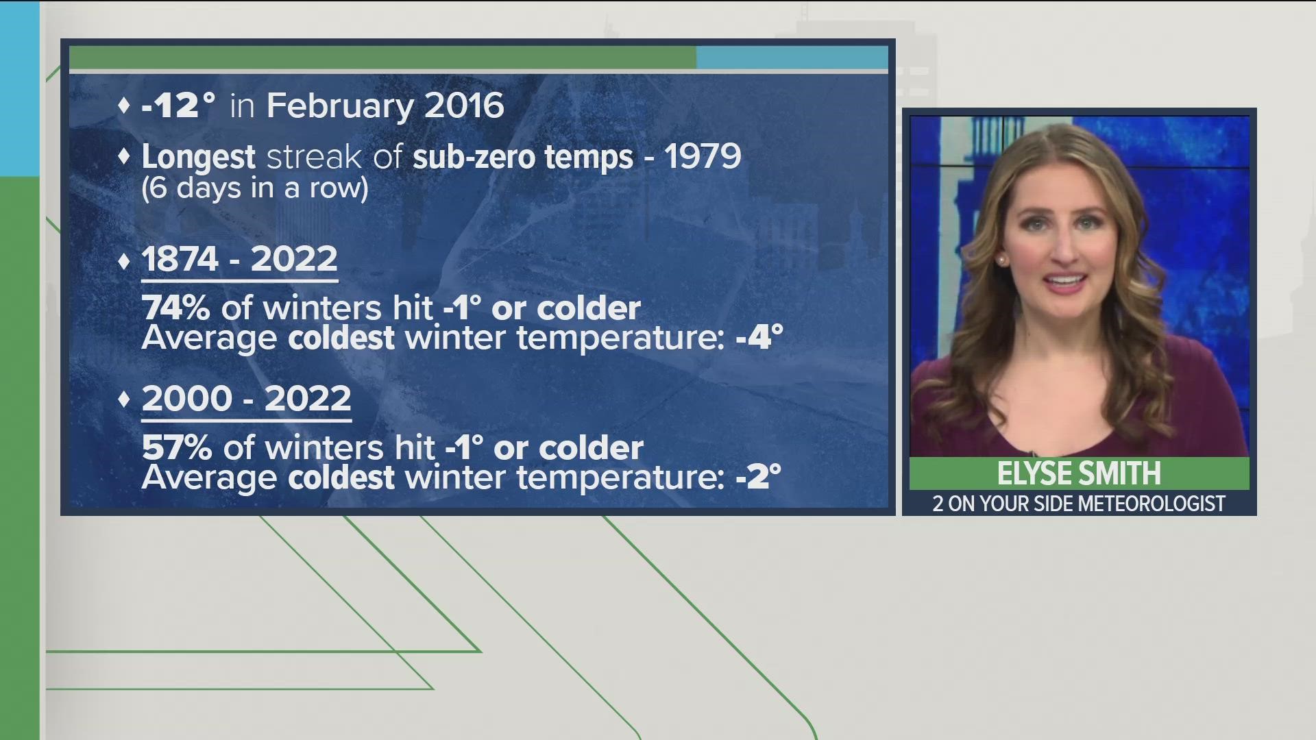
- The last time temperatures reached the double digits below zero in Buffalo was on February 14, 2016, when it reach -12 degrees that morning.
- The longest consecutive stretch of days with morning lows that were below zero was from February 9-14, 1979. Six days in total.
- There was a stretch of at least one below-zero temperature every winter from 1975 to 1989.
- And how about some math... from 1874-1999, Buffalo reached below zero during winter 78 percent of the time. Since 2000, that percentage drops to 57%.

