BUFFALO, N.Y. — The NYS Department of Environmental Conservation announced that they will be conducting aerial radiological surveys of both Erie and Niagara County starting on October, 2 2023.
The survey will continue through the month of October in partnership with the U.S. Environmental Protection Agency.
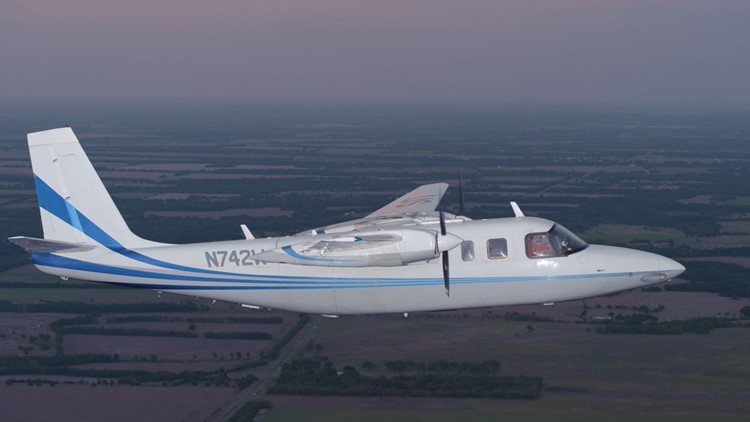
The survey is being conducted using a single-engine low-flying plane, known as the 'Airborne Spectral Photometric Environmental Collection Technology' (ASPECT).
The plane has a suite of sensors that will measure potential radiation sources in the Counties. Pictures will not be taken of people's properties during the fly overs. It will be 500 feet above ground level during the month, and including on weekends.
To learn more visit www.epa.gov/emergency-response/aspect


