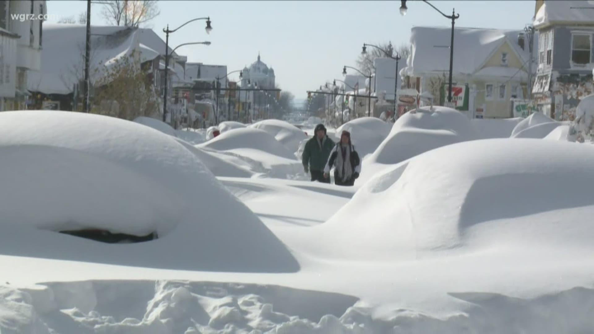
BUFFALO, N.Y. — Western New York has a history of snowstorms. Most are forgotten by the next year. But the word “Snowvember” is still enough for folks to clearly recall the events which began on November 17, 2014, when a massive lake effect snow storm dumped up to seven feet of snow in the course of a couple of days.
While the potential for up to three feet or more of Lake Effect Snow had been forecast by meteorologists at the Buffalo office of the National Weather Service and by those working for local media outlets, the storm defied expectations by bringing twice as much or more, with the lion’s share of it falling in 24 hour period.
Moreover, instead of drifting south toward ski county, the storm remained stubbornly in place, bringing snowfall rates of 3-6 inches per hour in the most highly affected areas.
Meteorologically speaking, it was perhaps in some respects the perfect lake effect snowstorm, marked by its concentrated nature and narrow width.
Indeed, areas just a few miles from the center of the storm marked snowfall in inches rather than feet.
“I don’t think we’ve ever seen this amount of snowfall in this short a period of time in a concentrated location,” remarked Erie County Executive Mark Poloncarz at a news conference two days after the storm began, when he and other public officials and emergency response teams were still heavily involved in monitoring the storm and steering the region’s eventual recovery. The area where the snow fell was home to some 400,000 residents according to Poloncarz.
Within two days Erie County Health commissioner Dr. Gail Burstein referred to the event as a “killer storm,” noting that six deaths were believed to have been attributed to the storm. Some estimates of the death toll would be higher, factoring in those who suffered cardiac arrest when shoveling snow in the aftermath
The National Guard was called in with manpower and equipment to clear snow clogged streets, some of which remained impassable for days.
RELATED: Remembering "Snowvember"

